Quem Somos
O Centro Nacional de Competências para as Alterações Climáticas do Sector Agroflorestal (CNCACSA) tem como missão a Inovação, o Desenvolvimento e a Investigação (I&D&I) para identificar a descrição dos cenários climáticos no país, avaliação da capacidade de resposta e da vulnerabilidade das Alterações Climáticas e desenvolver e avaliar medidas de mitigação e adaptação perante a necessidade de garantir a sustentabilidade da agricultura e floresta portuguesa, nas vertentes produtivas, ambientais e sociais.
Vídeo de Apresentação do Centro Nacional de Competências para as Alterações Climáticas do Setor Agroflorestal (CNCACSA)
DESTAQUES
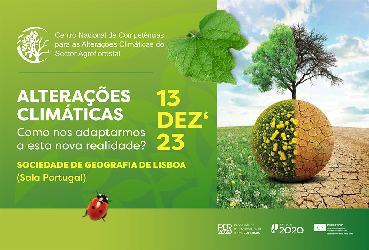
Decorreu no passado dia 13 de Dezembro, na Sociedade de Geografia de Lisboa, a Conferência “Alterações Climáticas: como nos adaptarmos a esta nova realidade?”.
Tendo em conta a relevância desta iniciativa que mobilizou mais de 850 pessoas de todo o país, divulgamos o vídeo com algumas imagens e depoimentos recolhidos durante a Conferência...
NOTÍCIAS


")


ONDE ESTAMOS
CONTACTO:
geral@cncalteracoesclimaticas.pt
LOCAL:
INIAV - Elvas
Estrada Gil Vaz, Apartado 6,
7350-404. Elvas | PORTUGAL
GPS: 38.888804, -7.144120
38°53'19.7"N 7°08'38.8"W