


![]()
Fonte: Research Square
Abstract
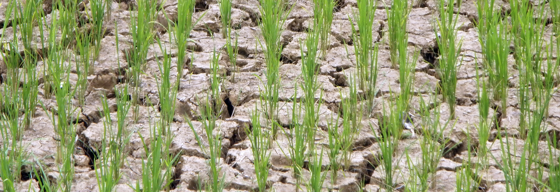
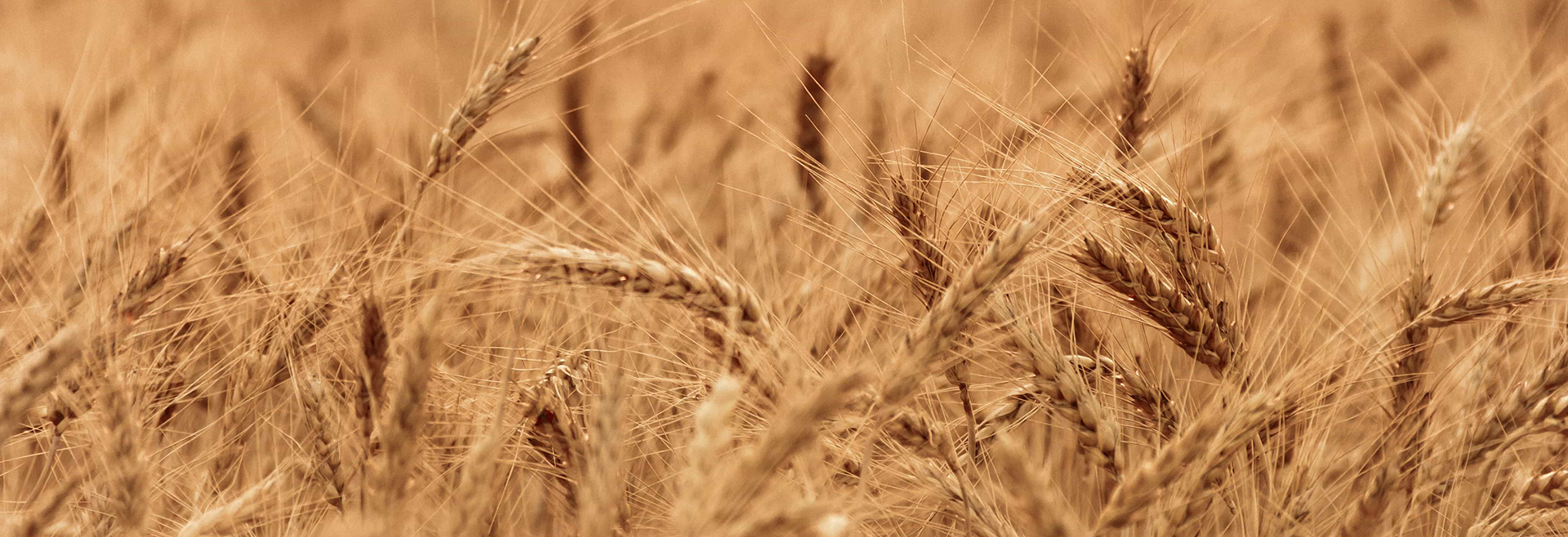
Spatially explicit cropland greenhouse gas (GHG) emissions and management data are crucial for developing effective climate change mitigation strategies and promoting sustainable agricultural practices. This study presents high-resolution (5 arc-minute) global maps of carbon dioxide (CO₂), methane (CH₄), and nitrous oxide (N₂O) emissions from agricultural activities across 46 crops circa 2020, referred to as emissions from croplands. Emission sources include synthetic nitrogen fertilizer use, manure application, crop residue incorporation, in-field residue burning, rice cultivation, and drained peatlands for cropping. Our findings indicate that global GHG emissions from croplands reached 2.7 Gt CO₂e in 2020, with drained peatlands (35%), rice paddies (35%), and synthetic N fertilizer (22%) as the primary contributors. The four major crop contributors-rice, maize, oil palm, and wheat-accounted for about 60% of total emissions. These results provide critical insights for effectively targeting GHG mitigation efforts and identifying key regions and crops within high-emission countries, enabling more precise and impactful climate action.